
Forestry, Orchards & Viticulture
Mapping and A.I technology allows us to quickly and accurately count plantation density and survival while identifying areas for spot spraying and fertiliser applications, making operations safer and more efficient.
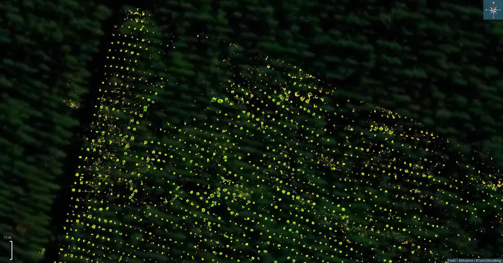
Native regeneration can sometimes be hard to pick out and support amongst scrub.
With our drones and A.I we can stream line this by training the software to identify native such as kanuka from matagouri among canopy cover saving time and adding more supportive evidence in the ETS application process.

Using our drone tech and software we can quickly and accurately measure tree height. This has shown to be time and cost efficient while reducing the risks on the ground.
Understand how multispectral can help you in the field.
https://www.youtube.com/watch?v=pAuq479TIJw